
| Location | Field Access on SW corner of Steele County Hwy 9 (50th St NE) and 34th Ave NE. Approximately 3/4 mile west of migrant camp. |
|
| Additional Notes |
Access is well graveled. | 44° 08’ 45” N / 93° 09’ 59” W 44.145920 / -93.166572 USNG: 15T VJ 86678 88093 |
| Exit Routes | North: Kenyon Road (1 mile east) | East: Steele County Hwy 9 | South: Kenyon Road (1 mile east) | West: Steele County Hwy 9 |
| Back to Map | Print pdf | |
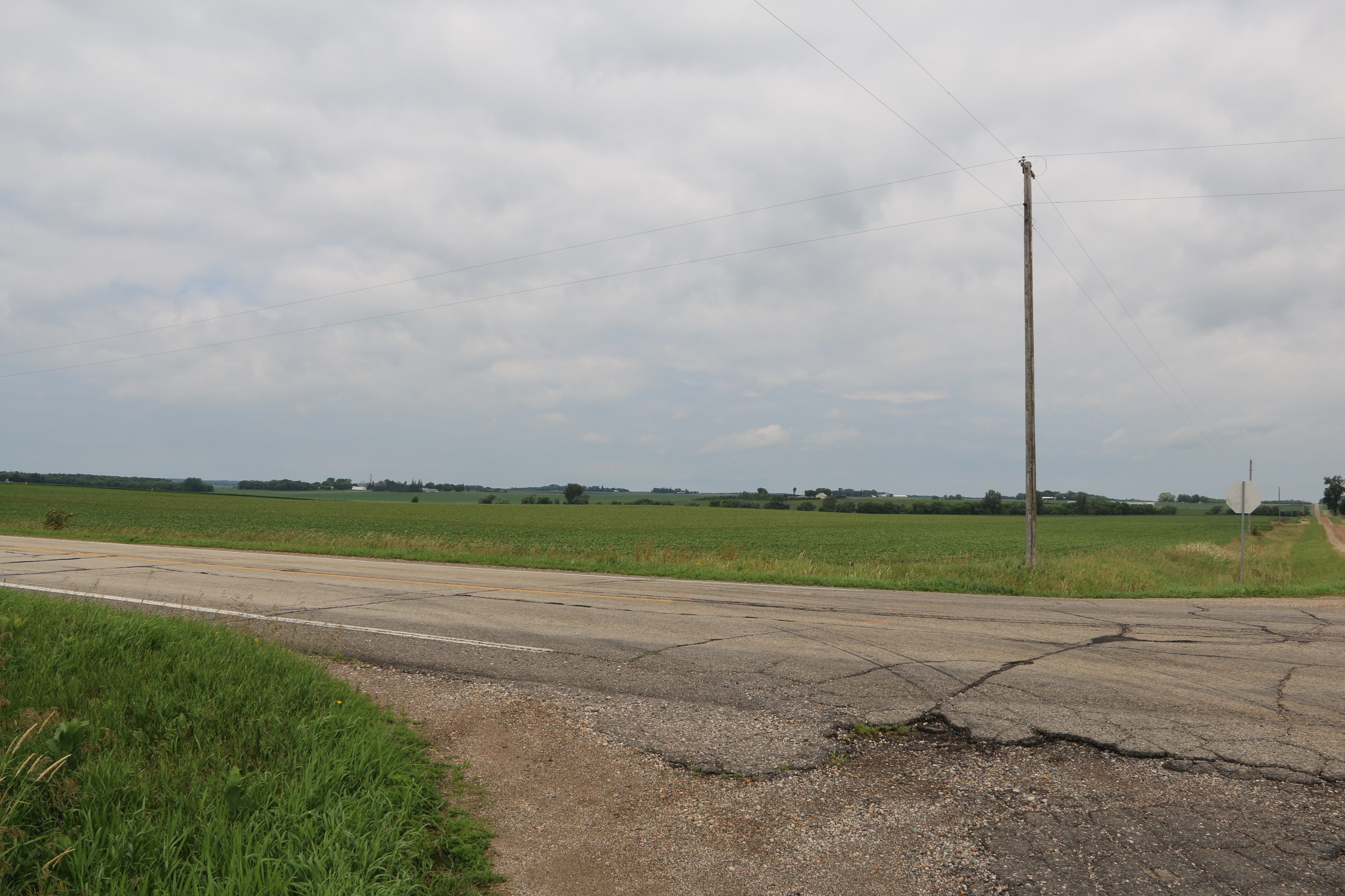
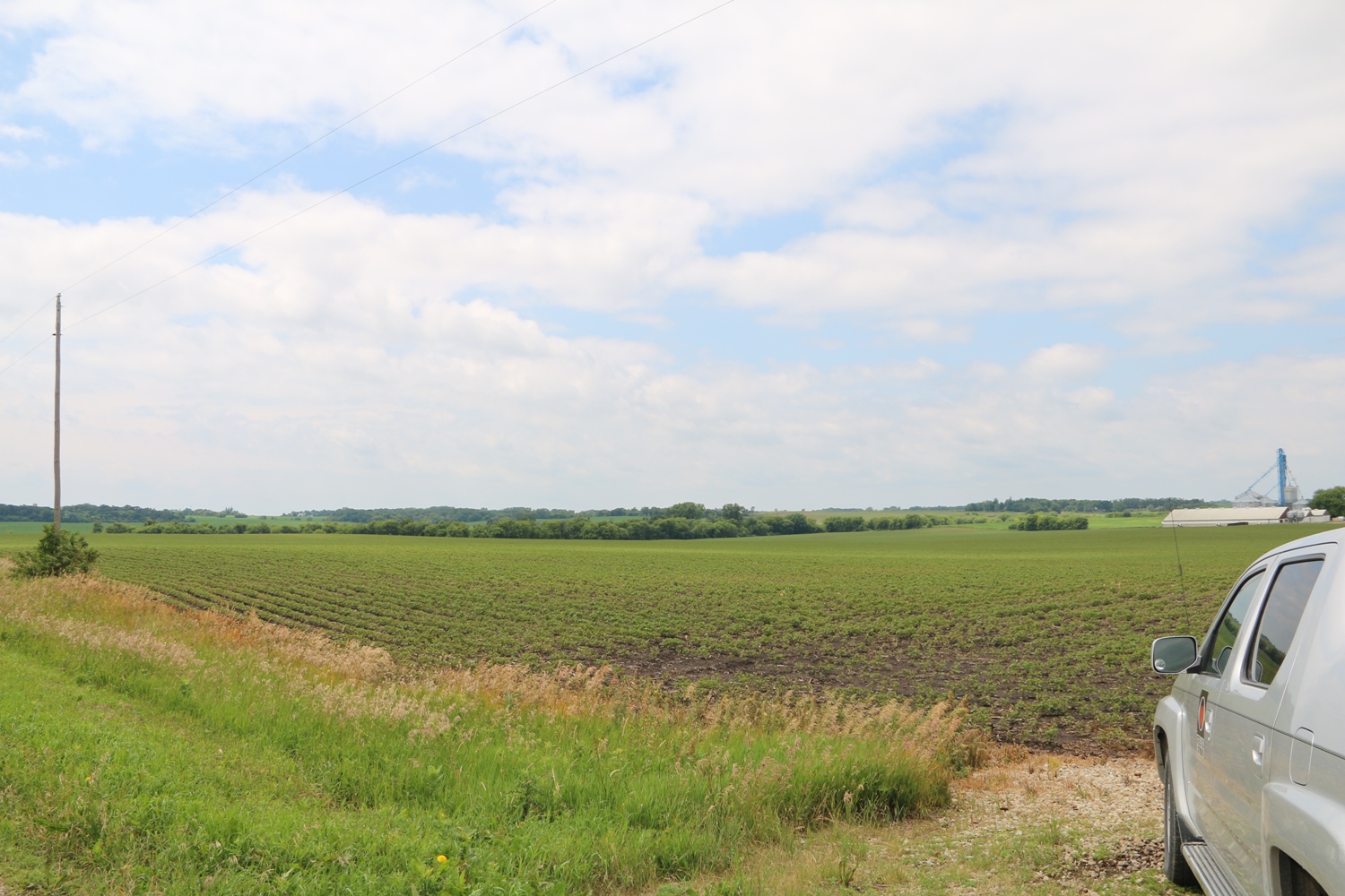
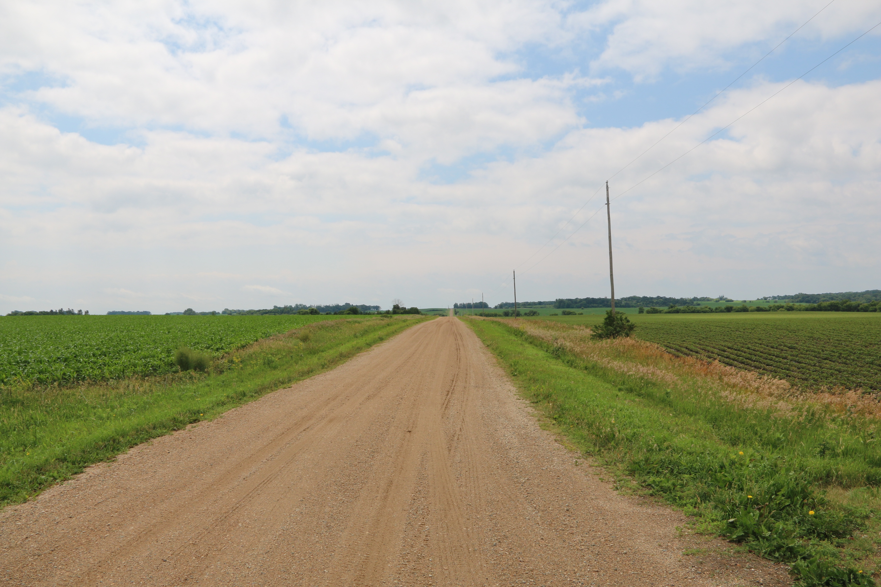
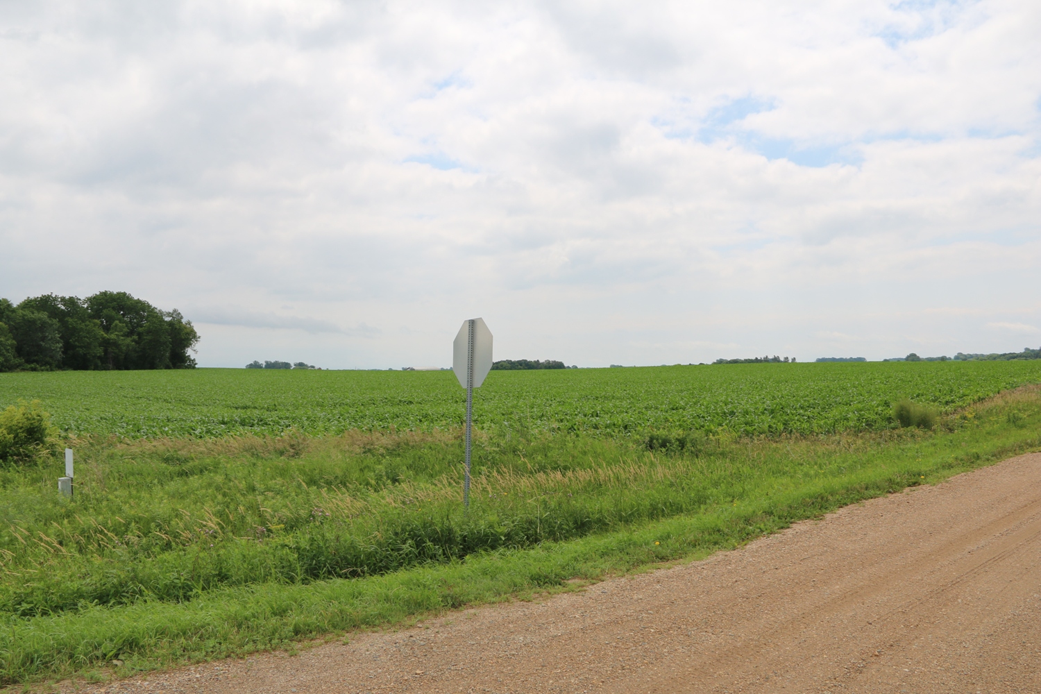
View Looking NW 5X Larger Image 10X |
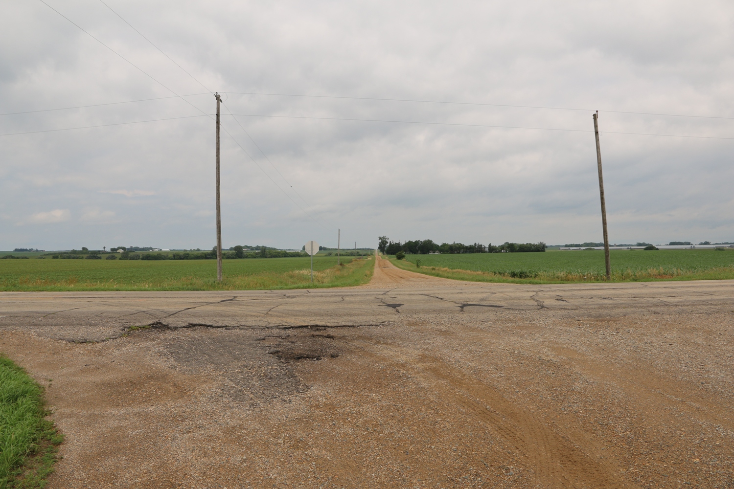
View Looking N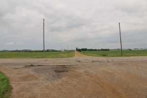 5X Larger Image 10X |
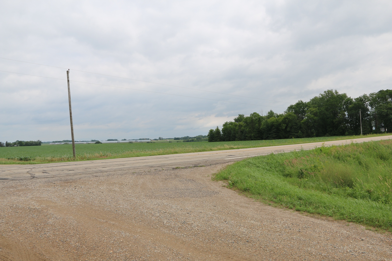
View Looking NE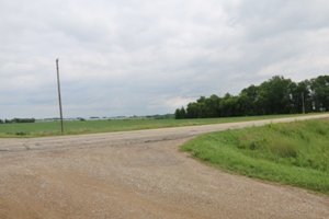 5X Larger Image 10X |
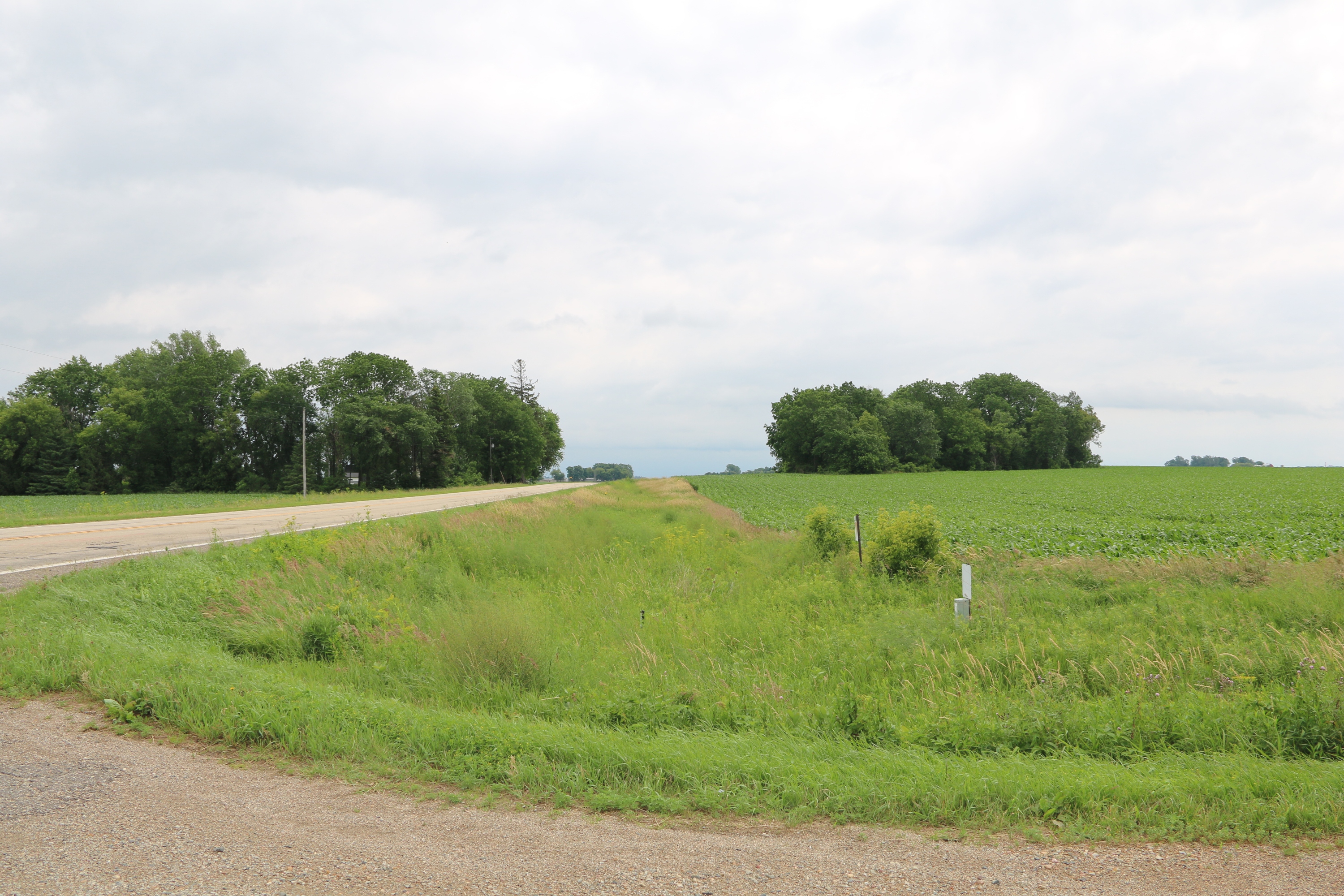
View Looking W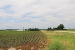 5X Larger Image 10X |
Aerial View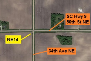 Google Map |
View Looking E 5X Larger Image 10X |
View Looking SW 5X Larger Image 10X |
View Looking S 5X Larger Image 10X |
View Looking SE 5X Larger Image 10X |
| Copyright 2019 - All Rights Reserved | Updated 01-Jul-2019 |