
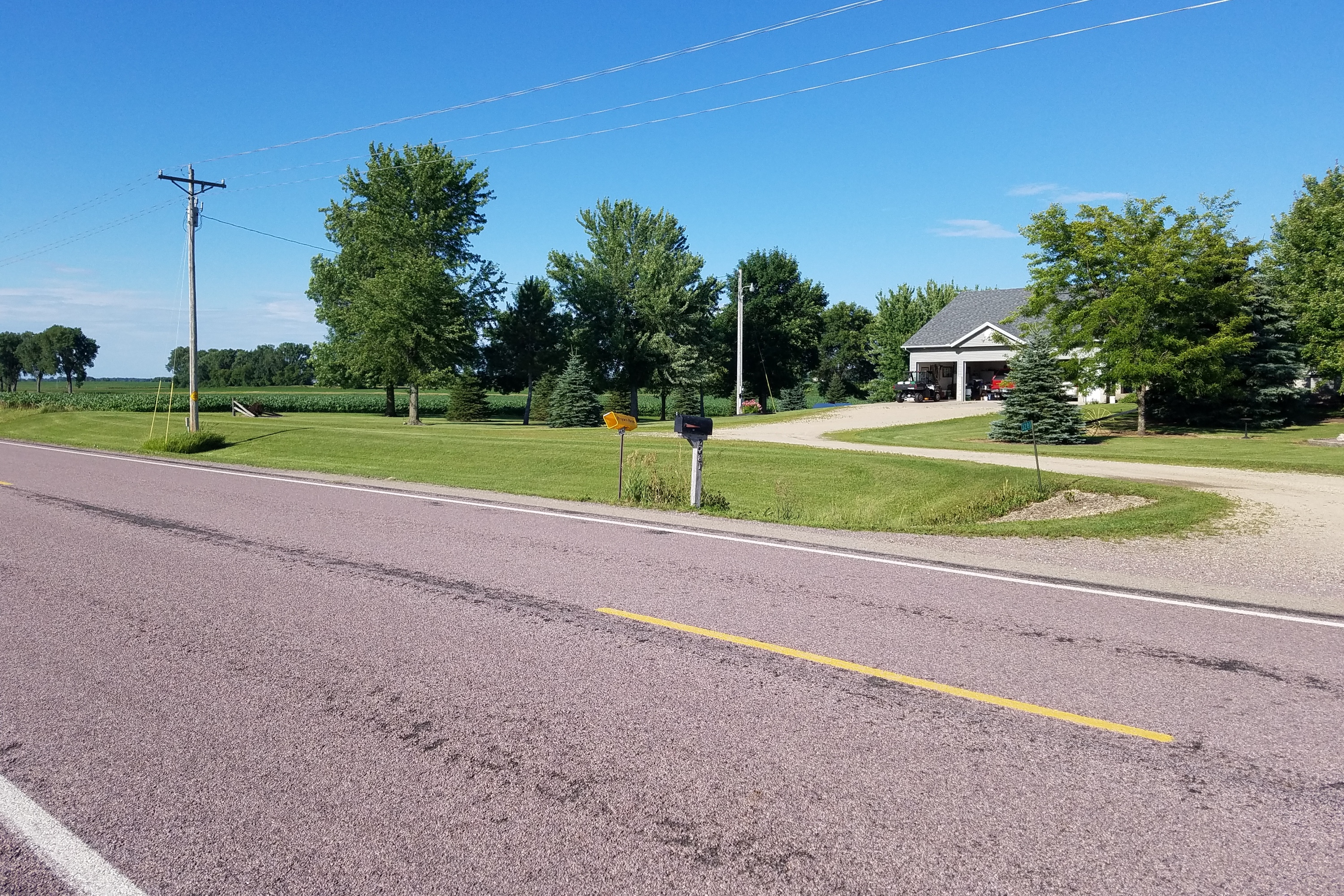
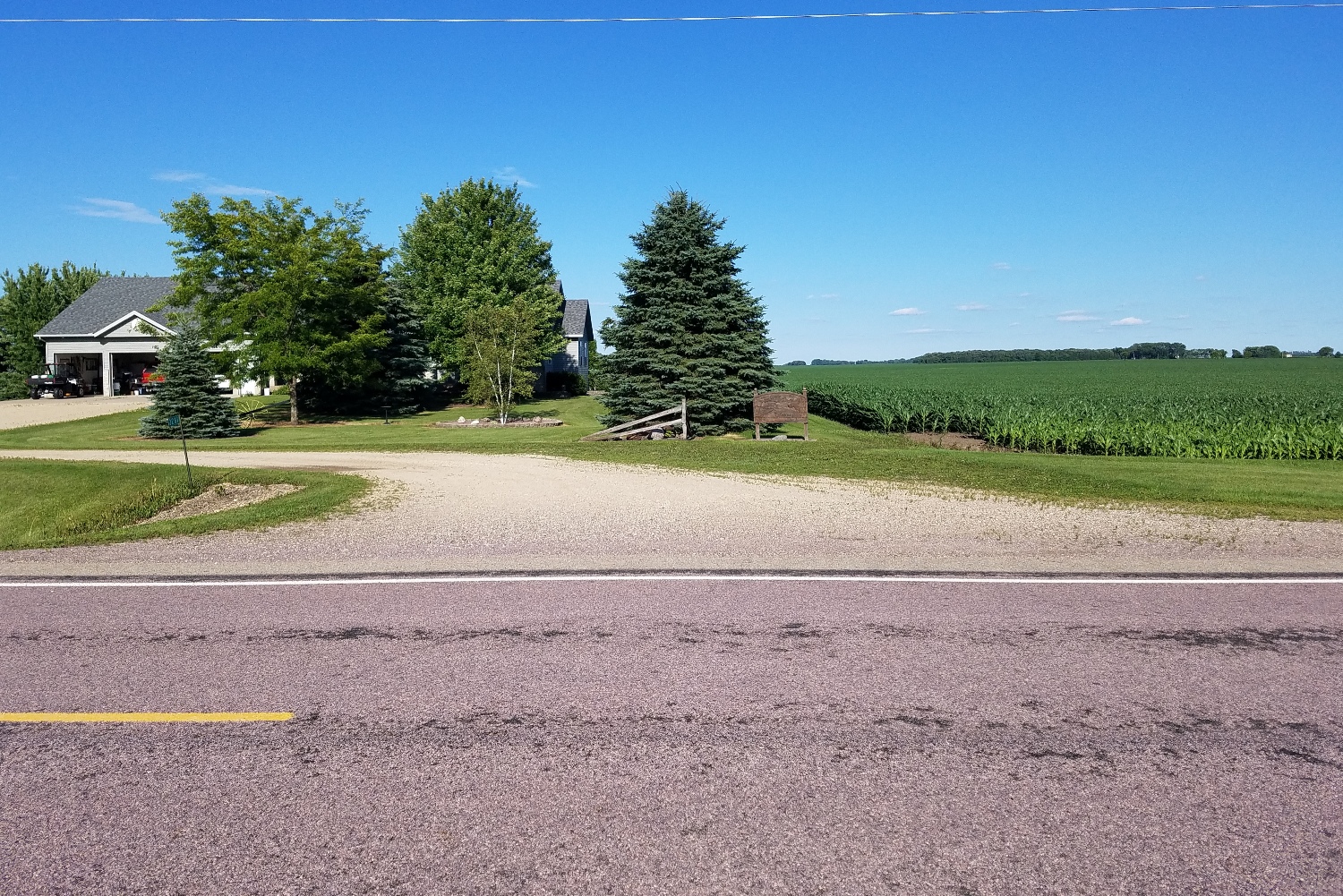
| Location | Field Access on west side of Steele County Hwy 43 (44th Ave SE) and 1 mile south of 28th St SE. |
|
| Additional Notes |
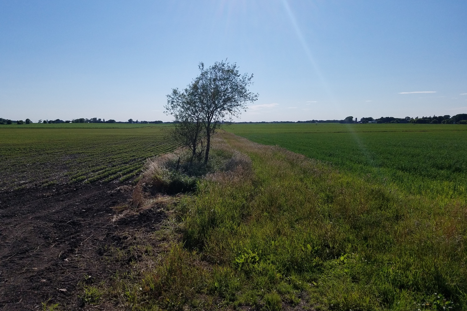
Access is wide, well graveled and easy to locate. Small tree to the west. |
44° 02’ 40” N / 93° 08’ 47” W 44.044509, -93.146613 USNG: 15T VJ 88254 76826 |
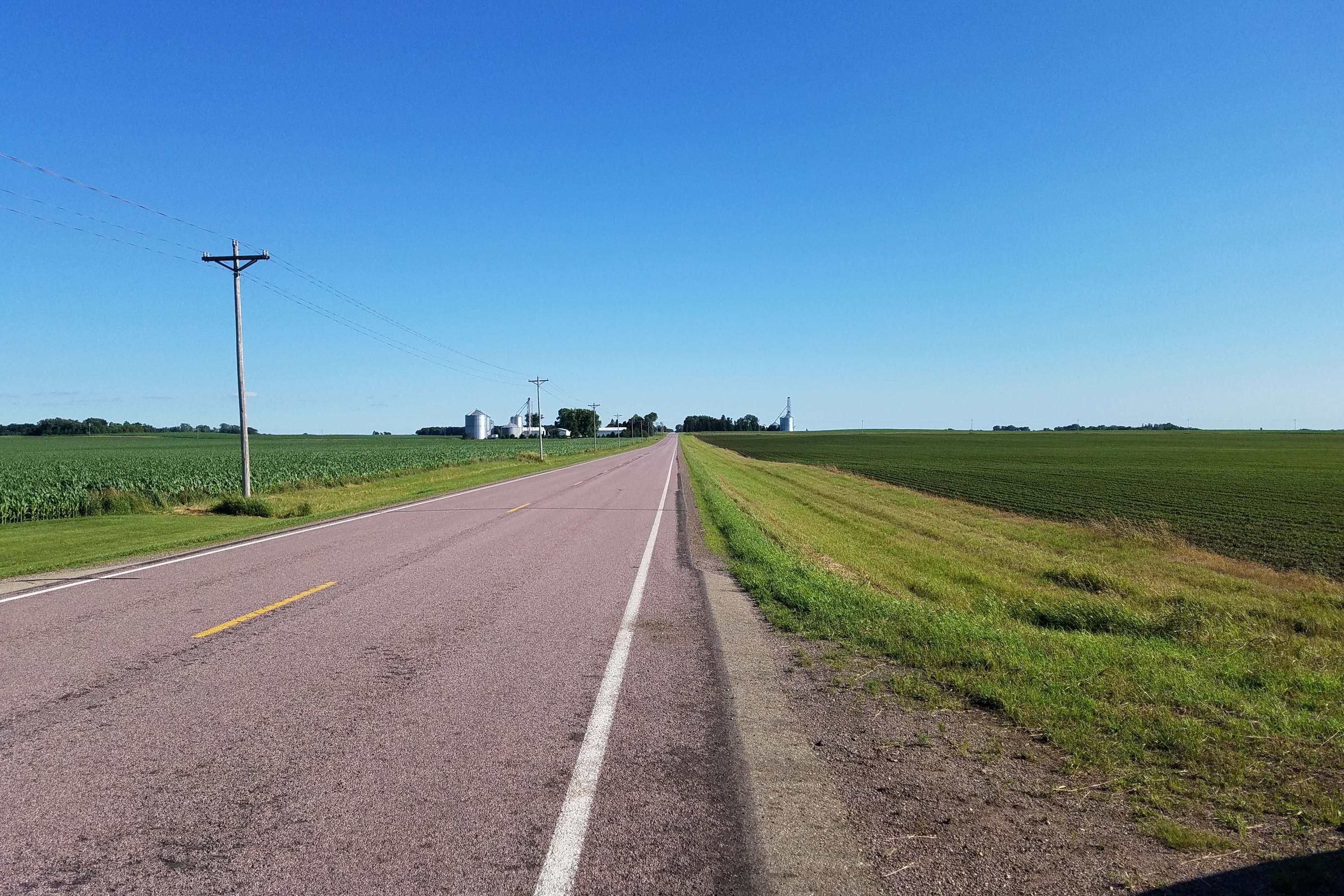
| Exit Routes | North: Steele County Hwy 43 | East: US Hwy 14 (1 mile north) | South: Gravel Road | West: US Hwy 14 (1 mile north) |
| Back to Map | Print pdf | |
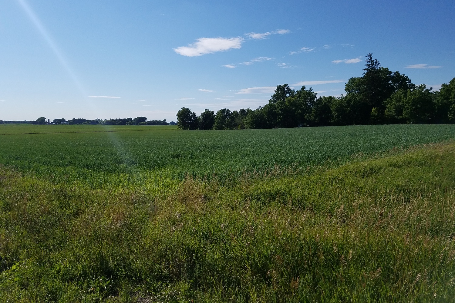
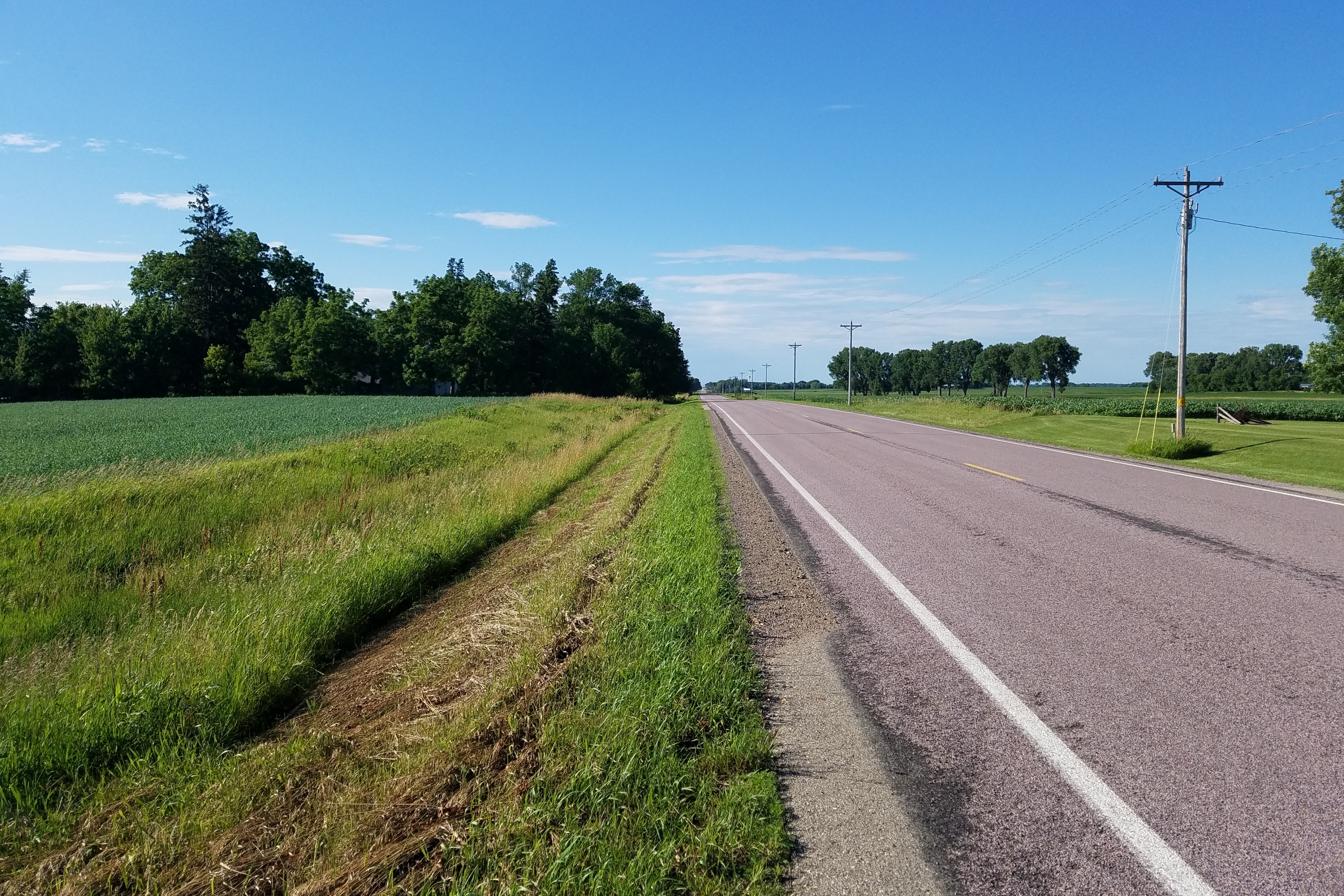
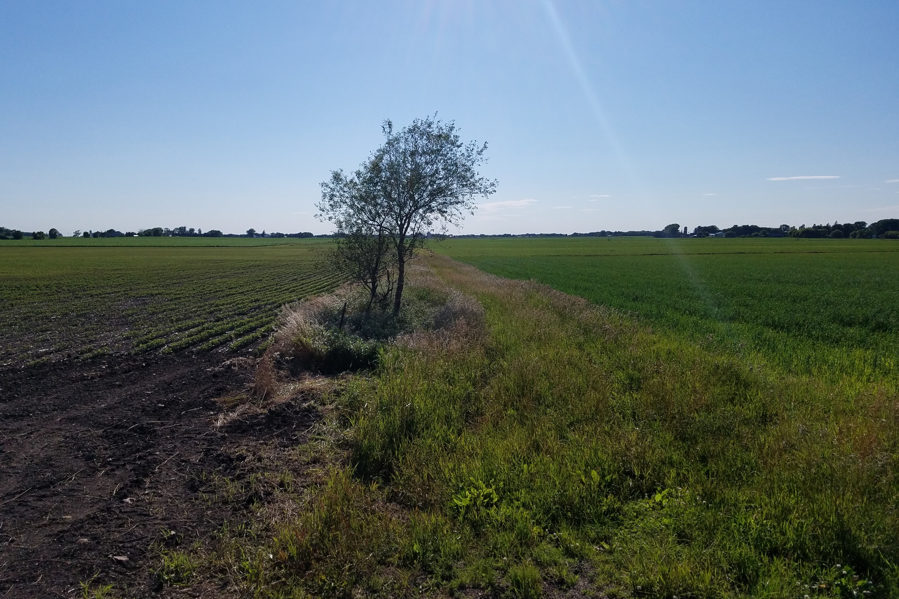
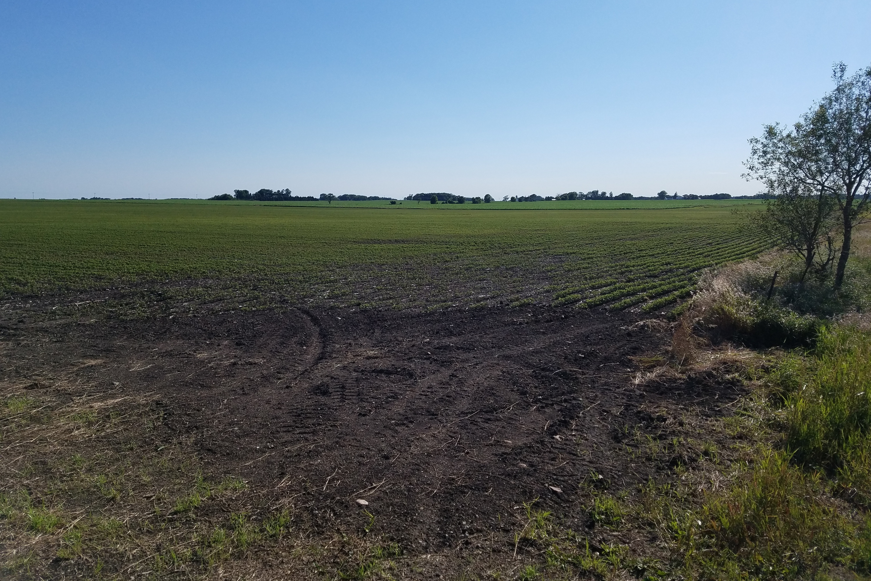
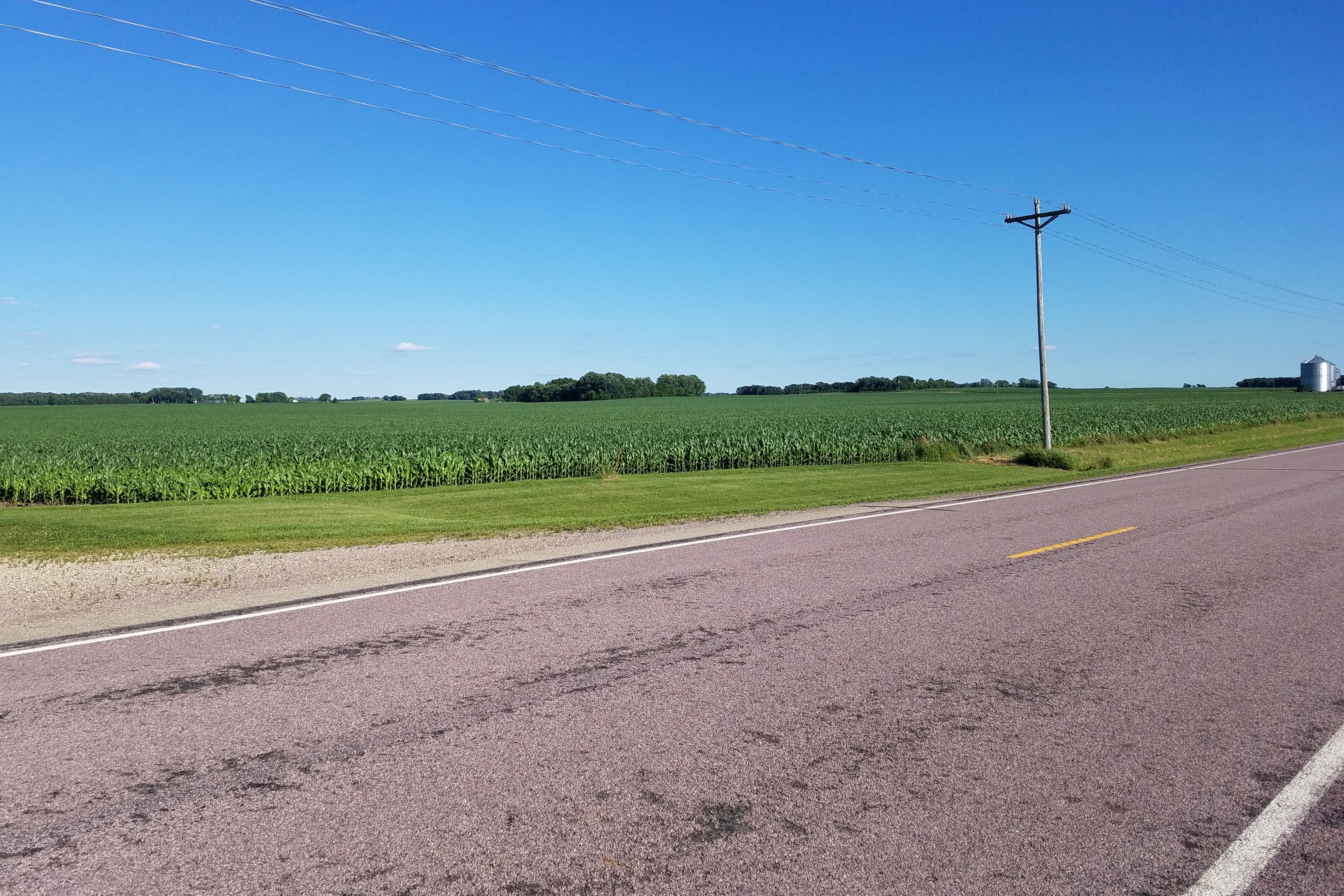
View Looking NW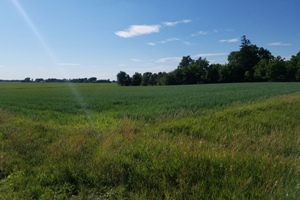 5X Larger Image 10X |
View Looking N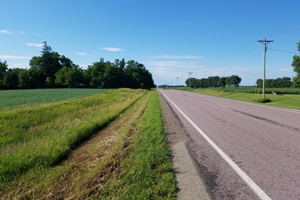 5X Larger Image 10X |
View Looking NE 5X Larger Image 10X |
View Looking W 5X Larger Image 10X |
Aerial View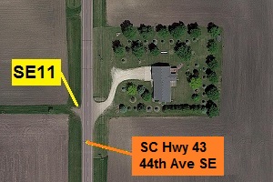 Google Map |
View Looking E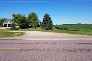 5X Larger Image 10X |
View Looking SW 5X Larger Image 10X |
View Looking S 5X Larger Image 10X |
View Looking SE 5X Larger Image 10X |
| Copyright 2019 - All Rights Reserved | Updated 12-Jul-2019 |