
| Location | Field Access on south side of 38th St SE and 120 feet east of Steele County 45 |
|
| Additional Notes |
Access is well graveled | 44° 02’ 13” N / 93° 13’ 32” W 44.037117, -93.225753 USNG: 15T VJ 81911 76020 |
| Exit Routes | North: Steele County Hwy 45 (to the west) | East: 38th St SE | South: Steele County Hwy 45 (to the west) | West: Gravel Road |
| Back to Map | Print pdf | |
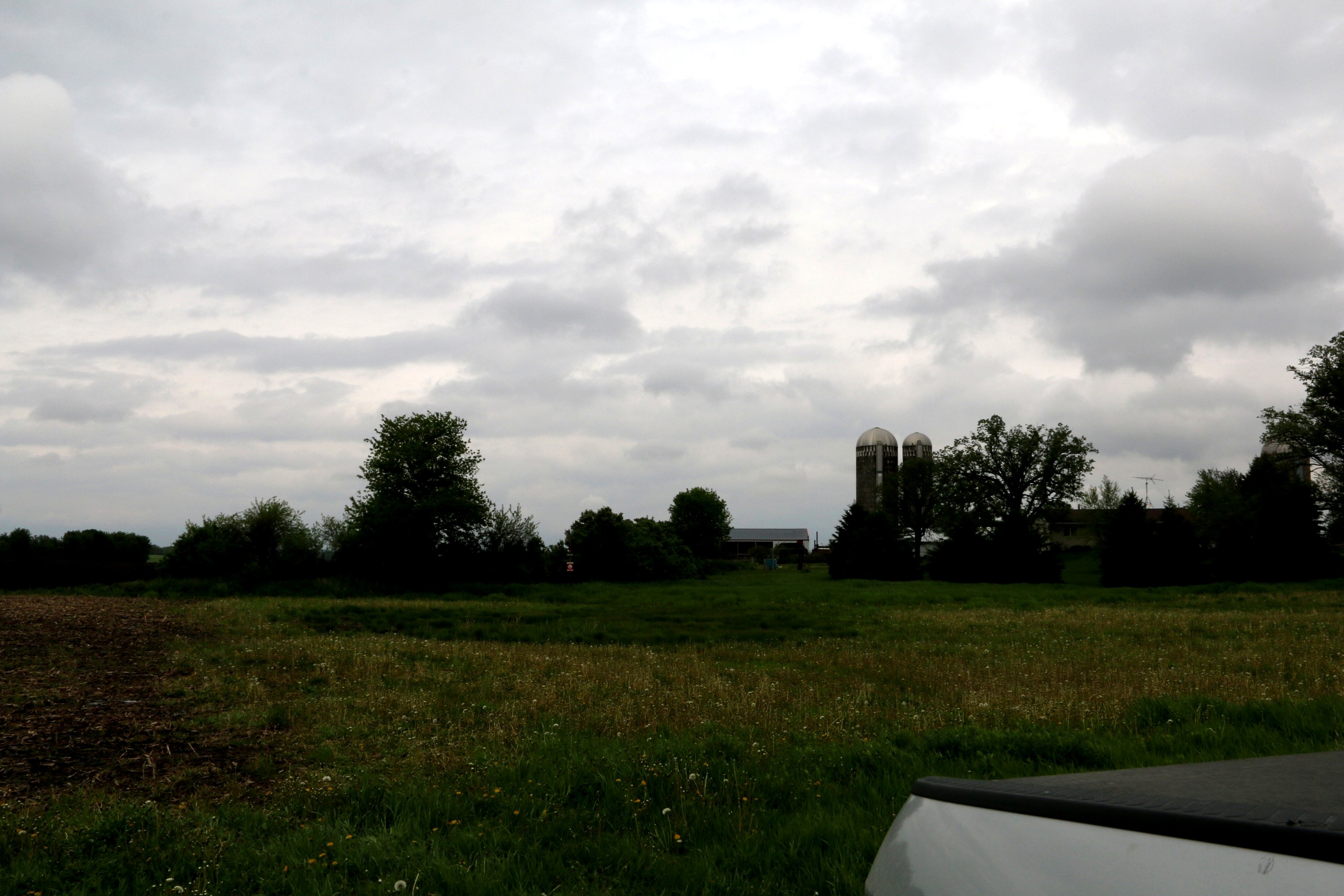
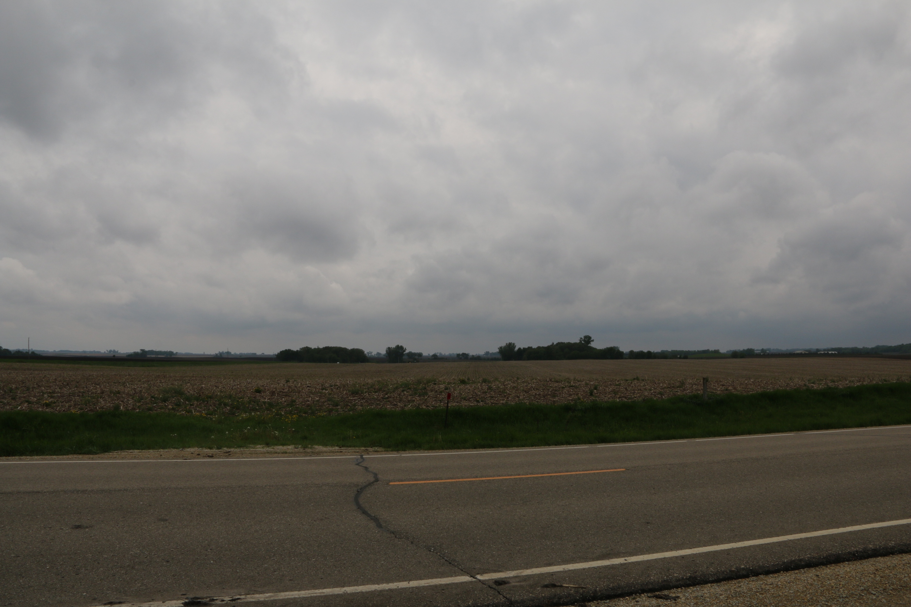
View Looking NW 5X Larger Image 10X |
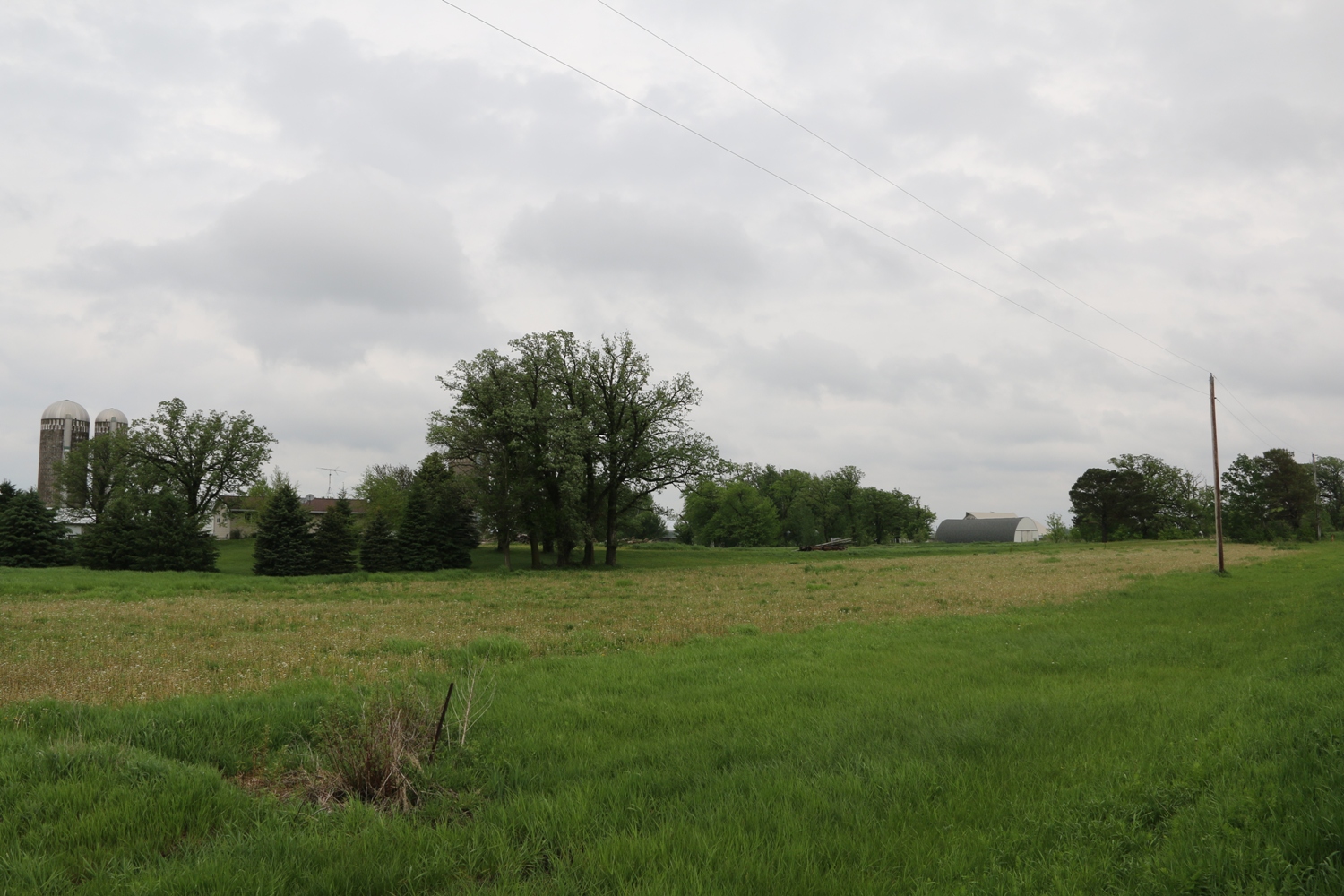
View Looking N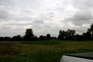 5X Larger Image 10X |
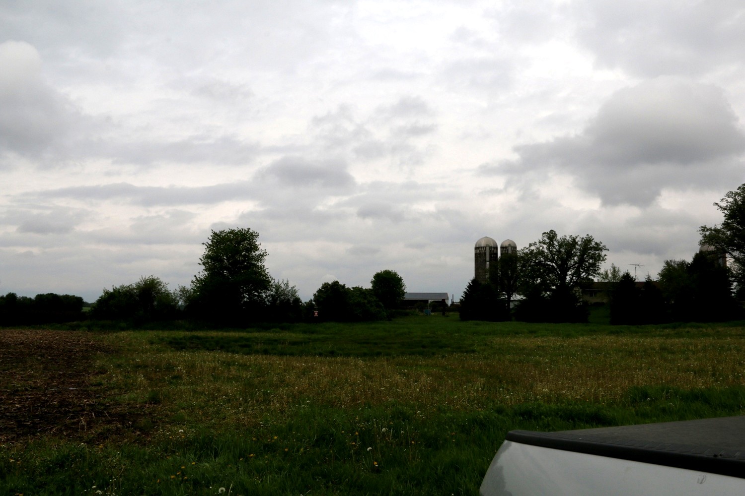
View Looking NE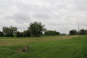 5X Larger Image 10X |
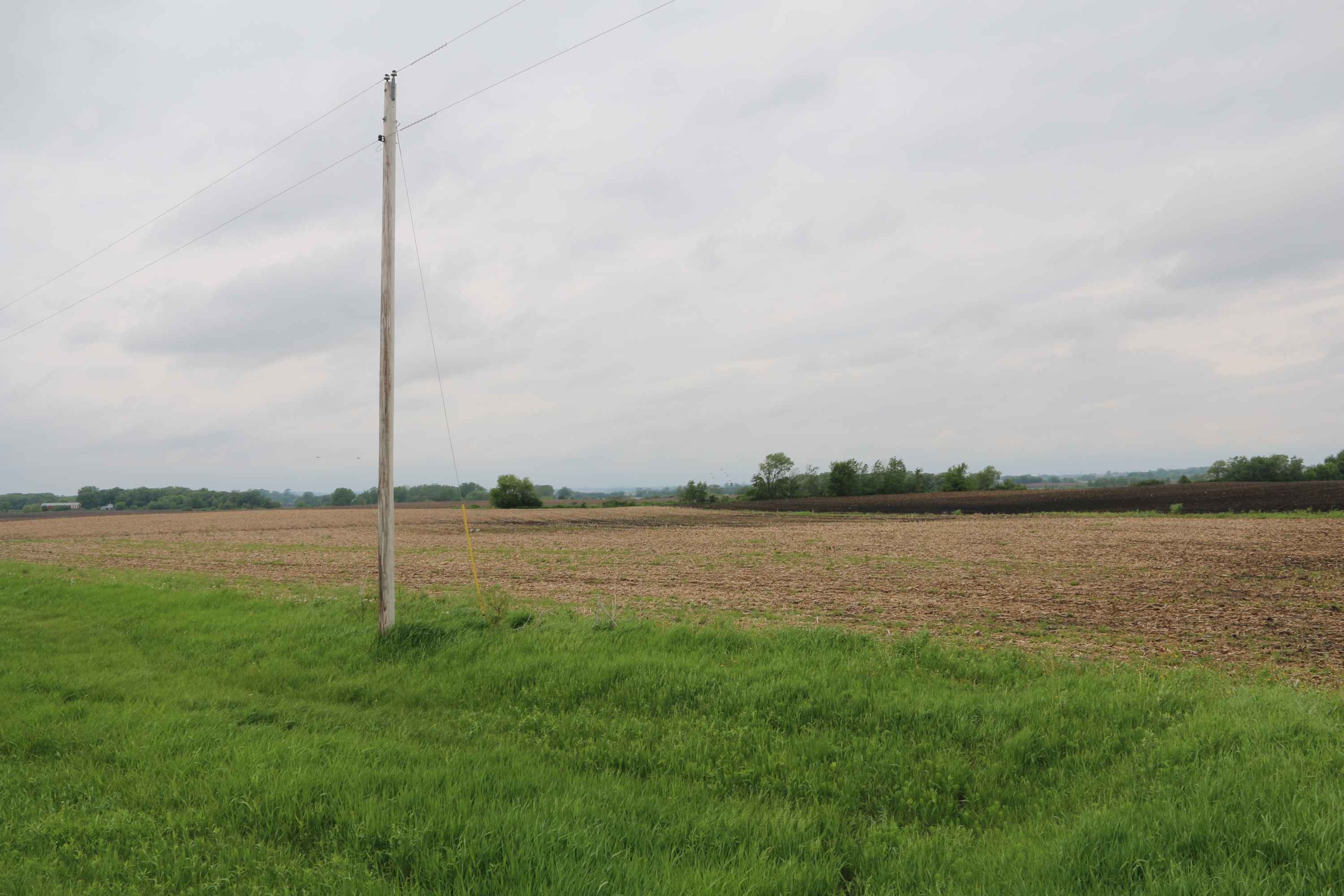
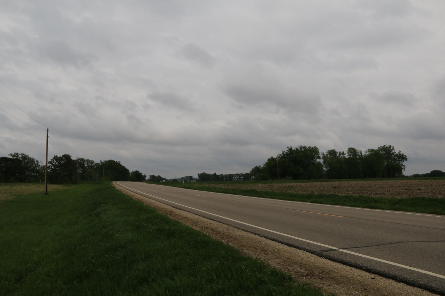
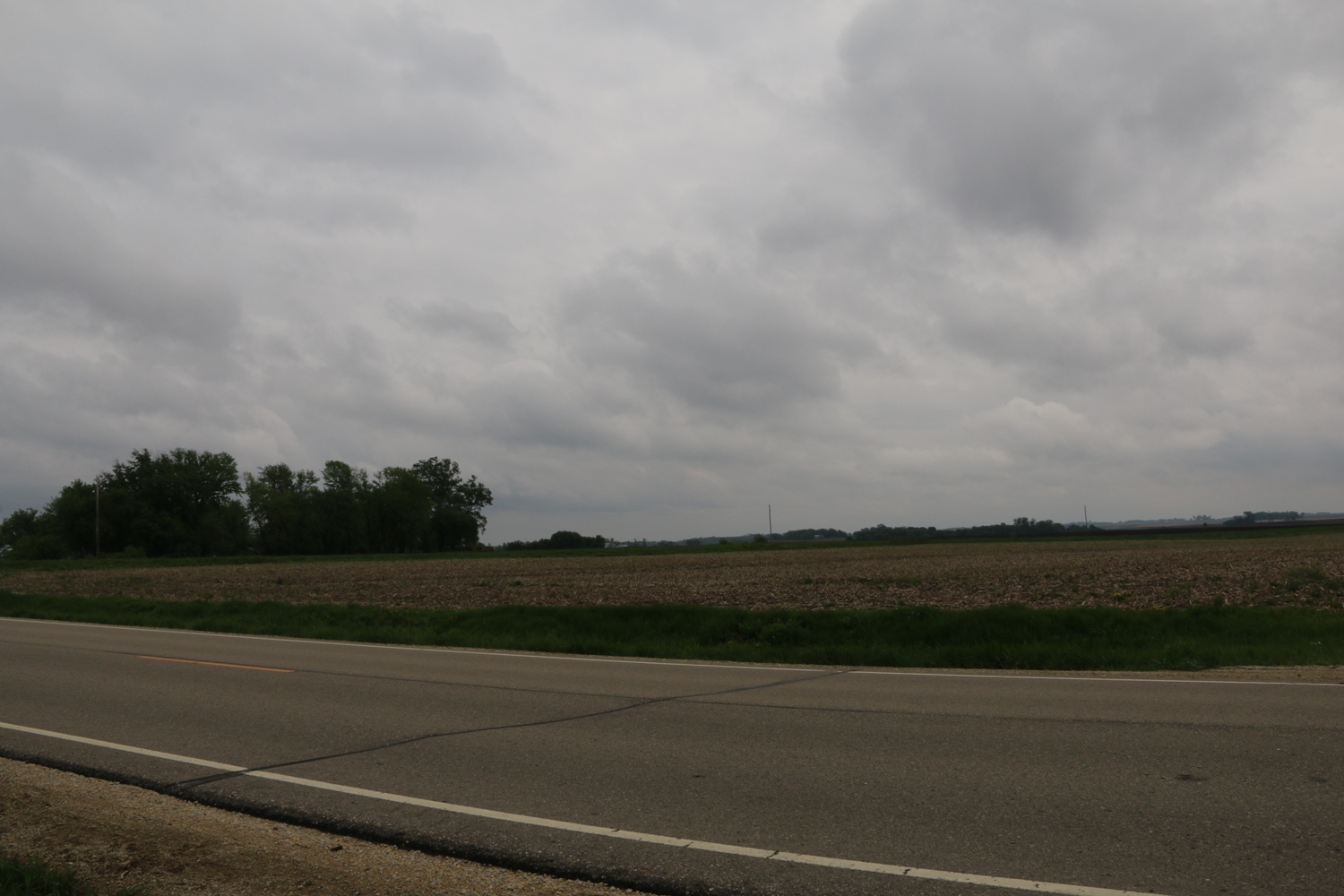
View Looking W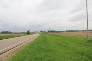 5X Larger Image 10X |
Aerial View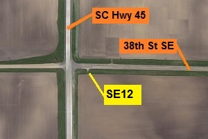 Google Map |
View Looking E 5X Larger Image 10X |
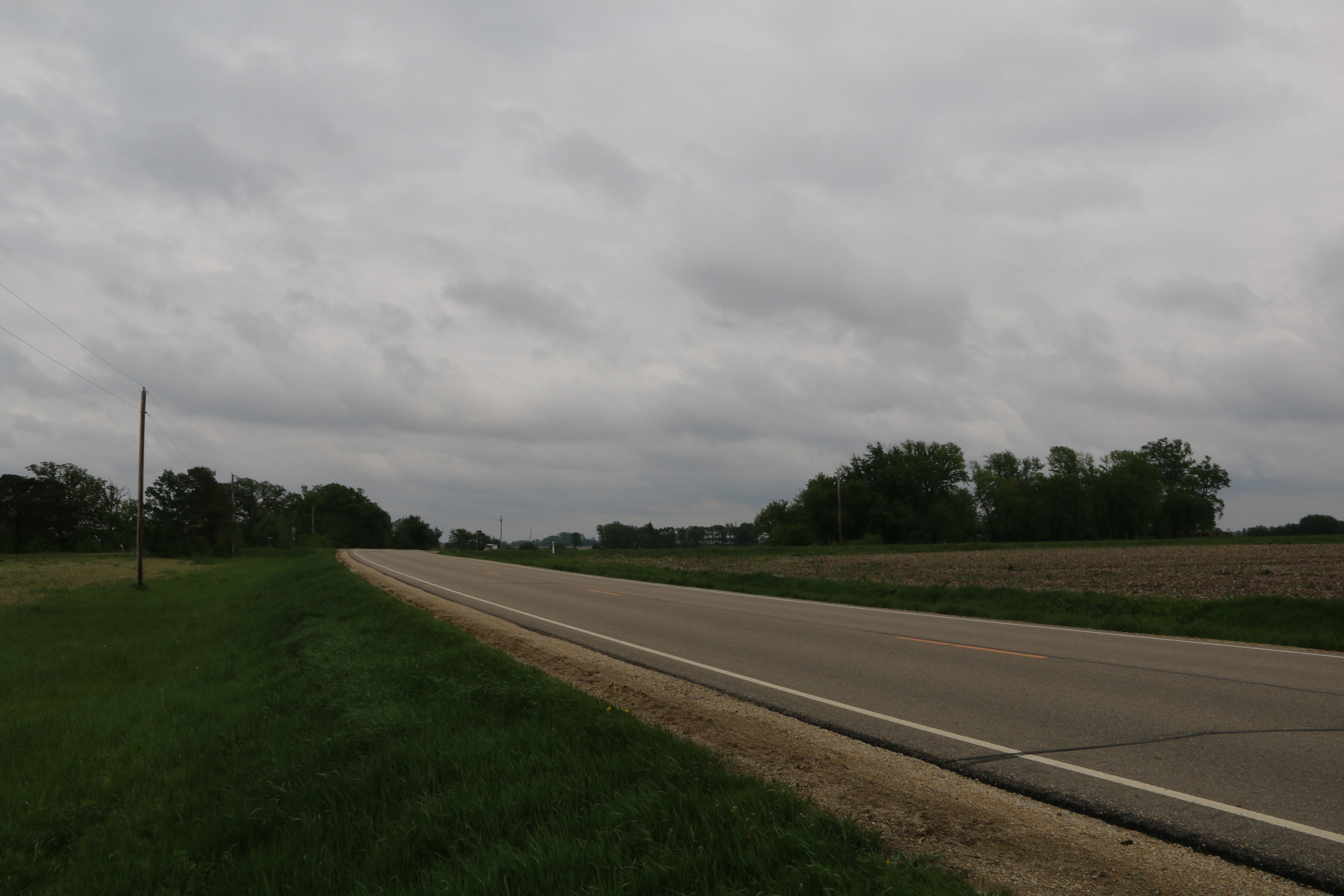
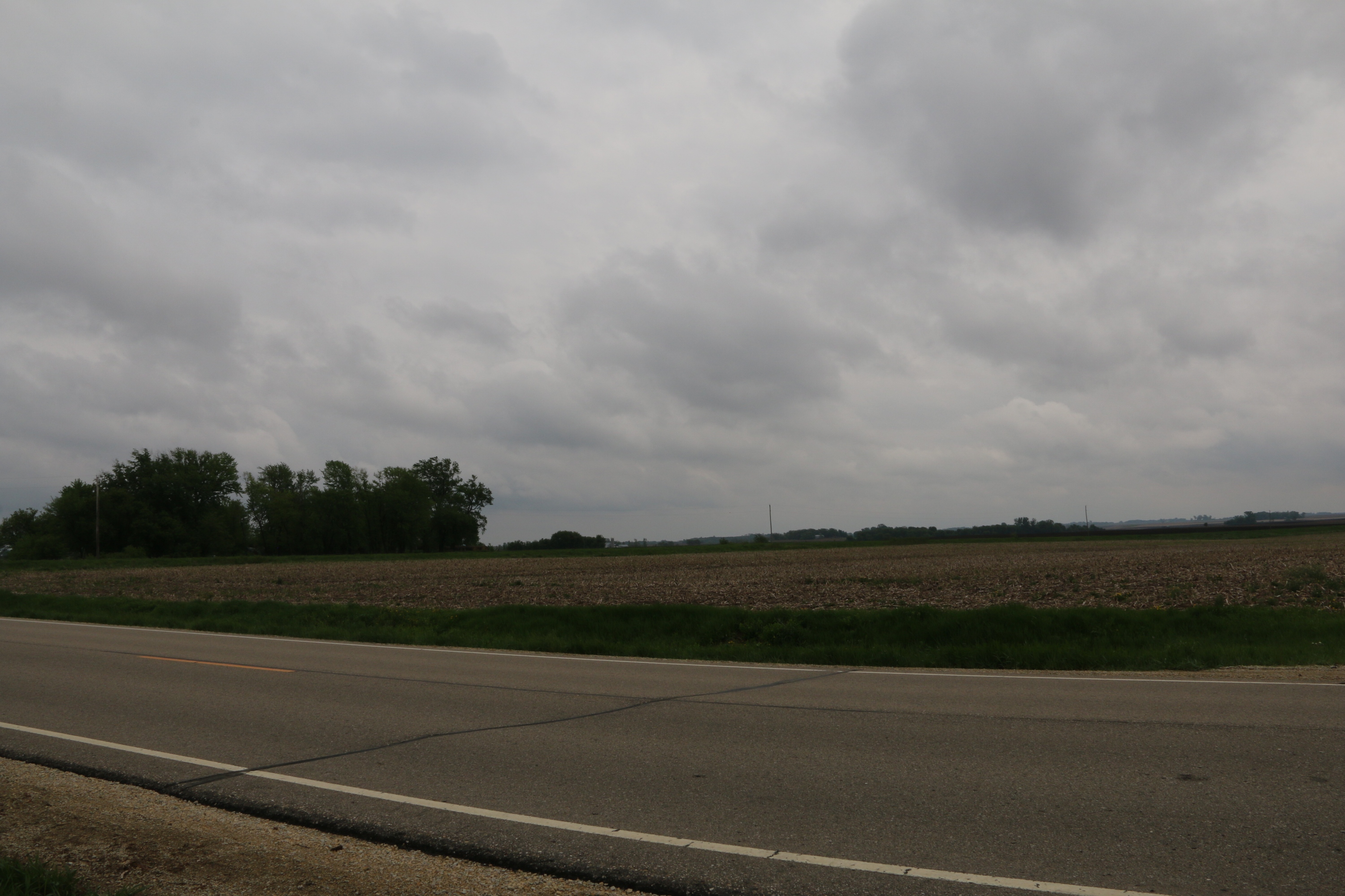
View Looking SW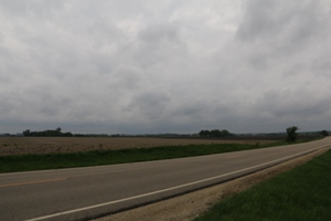 5X Larger Image 10X |
View Looking S 5X Larger Image 10X |
View Looking SE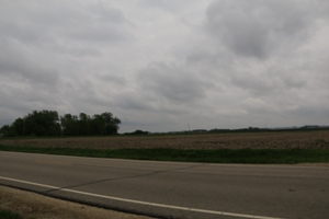 5X Larger Image 10X |
| Copyright 2019 - All Rights Reserved | Updated 12-Jul-2019 |