|
|
|
Gauge 5 |
|
Location |
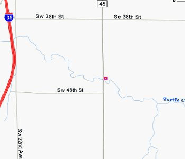
Turtle Creek at Steele Co. Rd. 45 south of Owatonna (Bridge #
6743) |
|
Type |
Stream |
X |
Y |
Latitude |
Longitude |
|
Staff |
Turtle Creek |
418586.5373 |
169890.9427 |
44.025185 |
-93.226171 |
|
Site Description |
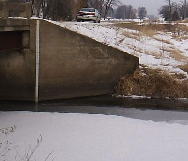
Staff on northeast corner. Gage datum for staff and newly
installed R.P. (top of 1/4" bolt washers in staff gage at right
upstream abutment) is 1153.998 feet. R.P. elevation is 1160.876
feet, with a reading on the staff of 6.878 ft. USGS staff plates
approximate the single staff plate at the right downstream
abutment. Top of staff is 13.20. |
  |
|

|


